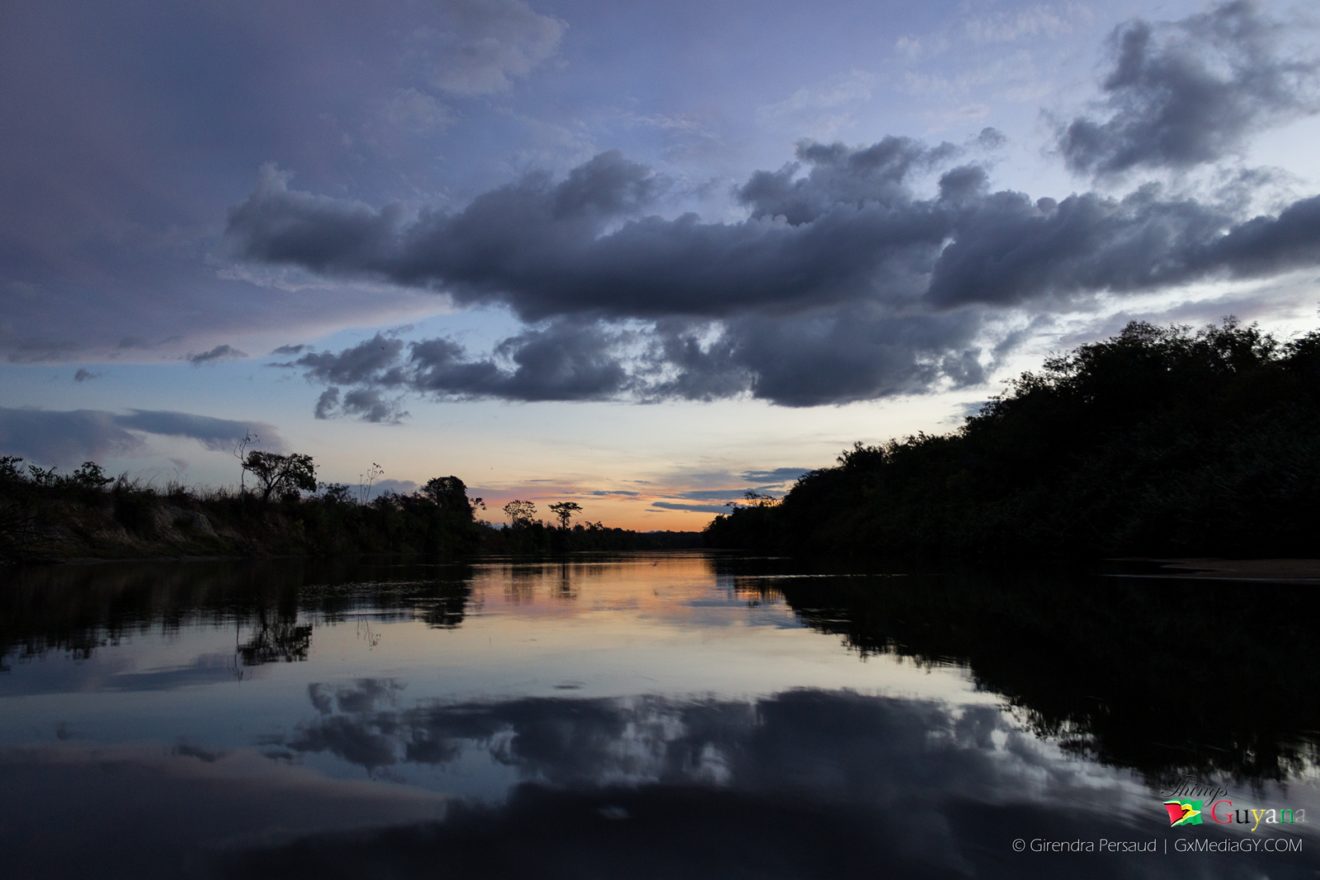
A river is a natural flowing watercourse, usually freshwater, flowing towards an ocean, sea, lake or another river. In some cases a river flows into the ground and becomes dry at the end of its course without reaching another body of water.
The Demerara River
What are some uses of rivers?
- Drink and Eat: Rivers provided early humans with water to drink and fish to eat.
- Travel and Irrigation: When people learned to build and use boats, rivers supplied a cheap and easy way to travel. Floodplains provided fertile soil for crops, and the system called irrigation allowed people to use rivers to water their fields.
- Electric Power: Today, many places use rivers to produce electric power.
- Recreational Activities: Lots of people like to use rivers for recreational activities, such as: fishing, bird watching, swimming, canoeing and sailing.
Tip: Why are rivers important?
Rivers carry water and nutrients to areas all around the earth. They play a very important part in the water cycle, acting as drainage channels for surface water. Rivers drain nearly 75% of the earth’s land surface.
Rivers in Guyana
| RIVERS | TRIBUTARIES OF RIVERS |
| Amazon River (Brazil) | Negro River (Brazil)
Branco River (Brazil) Takutu River Ireng River
|
| Courantyne/Corentyne/Corantijn River | Kutari River
Coeroeni River
|
| Berbice River | Canje River
|
| Abary River
|
|
| Mahaicony River
|
|
| Mahaica River
|
|
| Demerara River
|
Haiama River
Haianari Creek Haiakwa Creek Kuruabaru River
|
| Essequibo River
|
Mazaruni River
Kako River Kamarang River Issineru River Meamu River Kurupung River Eping River Merume River Puruni River Cuyuni River Wenamu River Ekareku River Akaiwang River Oko River
|
| Potaro River | Arnik River
Kurubrang River
|
| Konawaruk River
|
|
| Siparuni River | Burro-Burro River
|
| Rupununi River | Rewa River
Kwitaro River
|
| Kuyuwini River
|
|
| Kassikaityu River
|
|
| Pomeroon River | Wakapau River |
| Moruka River | |
| Waini River | Barama River |
| Orinoco River (Venezuela) | Barima River
Kaituma River
|
| Amacuro River (Amakura River) |
Did You Know?
The name Guyana means ‘Land of Many Waters’ in a native Amerindian language.
Guyana – Land of Many Waters
Guyana is justifiably called the land of many waters because of the numerous rivers, creeks and streams that flow throughout its length and across its breath. These numerous rivers flow into the Atlantic Ocean, generally in a northward direction. A number of rivers in the western part of Guyana, however, flow eastward into the Essequibo River, draining the Kaieteur Plateau.
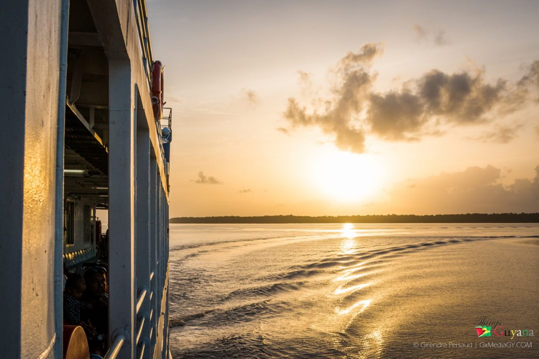
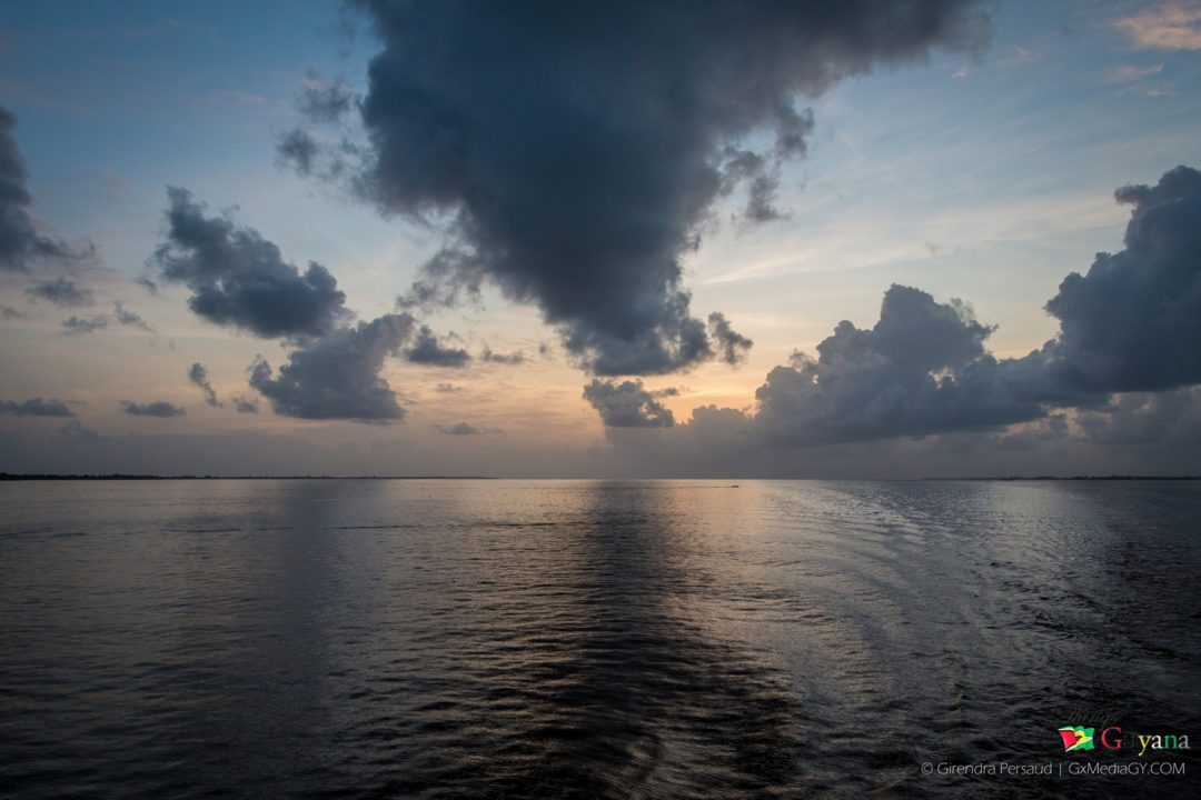
Sunrise on the Essequibo River
The Essequibo River – The Longest River
This is the longest river in Guyana and the largest river between the Orinoco and Amazon. Rising in the Acarai Mountains near the Brazil-Guyana border, the Essequibo flows to the north for 1,014 kilometres through forest and savanna into the Atlantic Ocean.
The Pomeroon River – The Deepest River
Family paddling down the Pomeroon River
This is one of the deepest river in Guyana and is situated between the Orinoco and the Essequibo rivers. The area has long been inhabited by the Arawak people but was first inhabited by the Cariwanna tribes about 3000 years ago. The Cariwanna tribes left many historical landmarks in attestation, one of which is the largest shell mound in Guyana. At Charity, the river leads up to the Cuyuni Ridge, but changes course beginning from a north-easterly direction. The river is also the supply reservoir for the five-mile-wide Tapakuma Lake which irrigates 35,000 acres of rice land during the long dry weather.
Four Major Rivers in Guyana
Guyana has four major rivers—the Corentyne, Berbice, Demerara, and Essequibo—which flow northward and empty into the Atlantic.
-
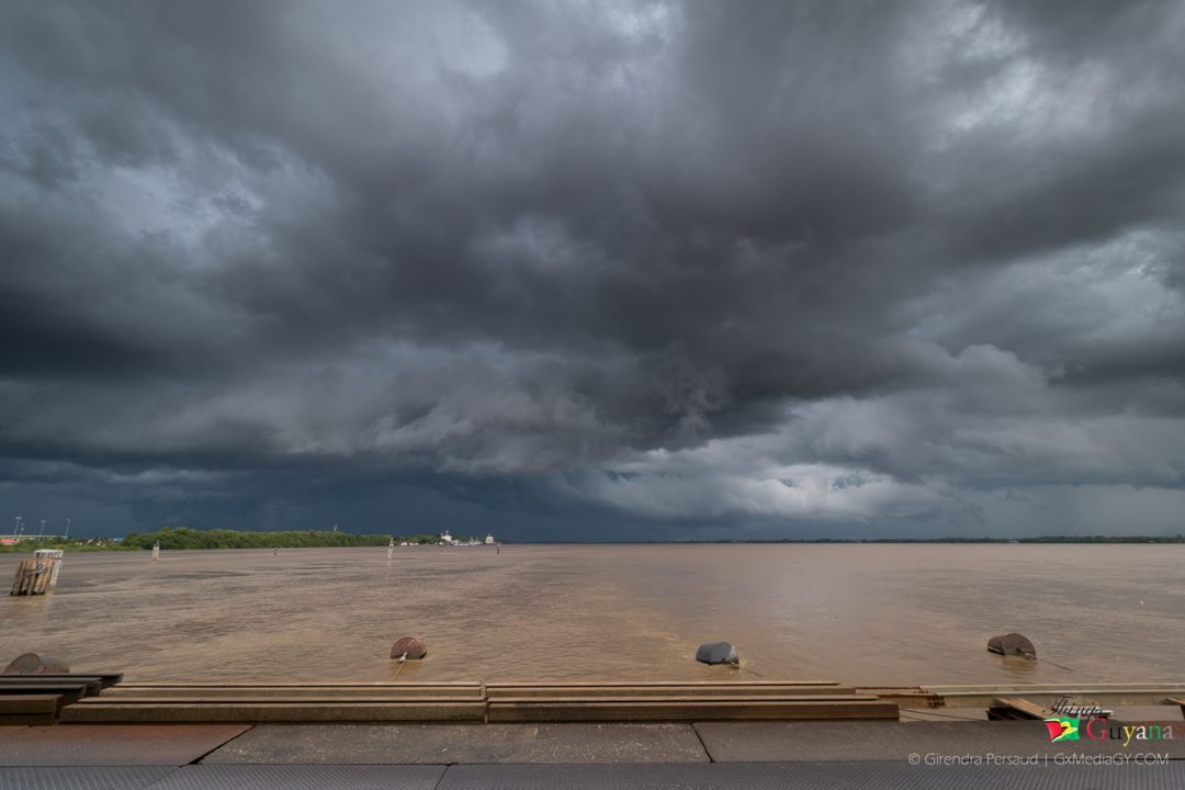
The Demerara River – looking from the Demerara Harbour Bridge
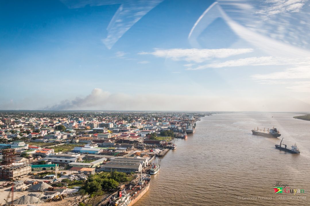
Demerara River – this river rises in the central rainforests of Guyana and flows to the north for 346 kilometres until it reaches the Atlantic Ocean. The river divides Essequibo Islands-West Demerara (Region 3) on the west bank from Demerara-Mahaica (Region 4) to the east. The river’s deep brown color is primarily the result of the massive quantities of silt carried from upriver by the powerful currents. So powerful are these currents, that the ocean retains the Demerara’s brown color for a considerable distance out to sea.
- Berbice River – this river rises in the highlands of the Rupununi region and flows northward for 370 miles (595 kilometres) through dense forests to the coastal plain. The river’s tidal limit is between 160 and 320 kilometres from the sea. The town of New Amsterdam is situated on the river’s east bank, approximately four miles inside the river’s estuary, where it enters the Atlantic Ocean.
- Corentyne River – this river originates in the Acarai Mountains and flows northward via the Boven (Upper) Corentyne which is the source river for approximately 724 kilometres (450 miles) between Guyana and Suriname, emptying into the Atlantic Ocean near Corriverton, Guyana and Nieuw Nickerie, Suriname.
- Essequibo River – this is Guyana’s major river. It runs from the Brazilian border in the south to a wide delta west of Georgetown.
Early morning on the Essequibo River
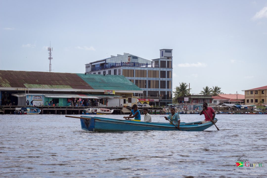
In Guyana many rivers can be found; they have their own purposes and use to the community it runs in. They are a source of help and refreshment to many; whether it helps persons directly as a means to wash their clothes, to bathe, to recreate; it also helps persons indirectly by means of supporting bridges (Demerara’s floating Habour Bridge), boats and pontoons.
Article References:
- http://geography.parkfieldprimary.com/water/rivers/uses-of-rivers
- http://www.primaryhomeworkhelp.co.uk/rivers/importance.html
- https://en.wikipedia.org/wiki/List_of_rivers_of_Guyana
- https://en.wikipedia.org/wiki/Essequibo_River
- https://en.wikipedia.org/wiki/Pomeroon_River
- https://en.wikipedia.org/wiki/Demerara_River
- https://en.wikipedia.org/wiki/Berbice_River
- https://en.wikipedia.org/wiki/Courantyne_River