Between 1783 and 1800, small ‘towns’ grew up around Stabroek. First was New Town, which was originally established by the French in 1782. In this area, American traders set up offices close to the river and built a wharf where American trading ships discharged and loaded their goods. This wharf became known as ‘American Stelling’ and the road in the vicinity became known as America Street.
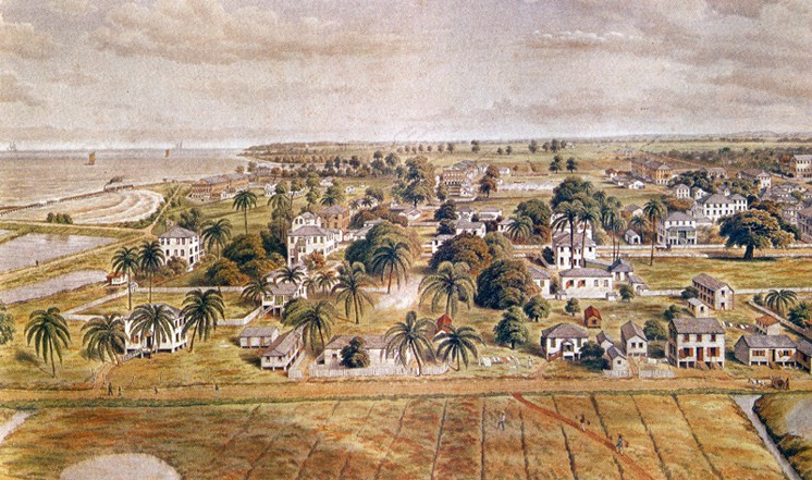
Artistic illustration of Georgetown harbour, circa 1850
The main street of Stabroek was Brickdam, which was about one mile long. A muddy embankment, which was erected to keep back the river, became known as Water Street. This street was gradually strengthened with the debris of fires that spread on its surface.
It was the British, after 1796, who began to expand road-building in the town. In 1797 a road, which later became known as High Street, was built. Camp Street was laid out in 1805, and by 1806, other roads were completed.
At around this time, Plantation Vlissengen, a coffee plantation, occupied a large area north of Stabroek. In 1804, its owner, Daly, obtained permission to convert part of the plantation into a town. This section was bought by a Mr. Lacy who renamed it Lacytown and built three bridges over the boundary canal to link it with Stabroek and a neighbouring new ward, Cummingsburg, originally owned by a Scotsman, Thomas Cumming.
Later, Plantation Vlissingen came under the ownership of Joseph Bourda and from this plantation were later carved out Robb’s Town (Robbstown) and Newtown. Robb’s Town, in its early period, was known as Bridgetown because of the Barbadians who settled there. However, when John Robb leased a large part of the district and started a housing scheme, the area became known as Robb’s Town.
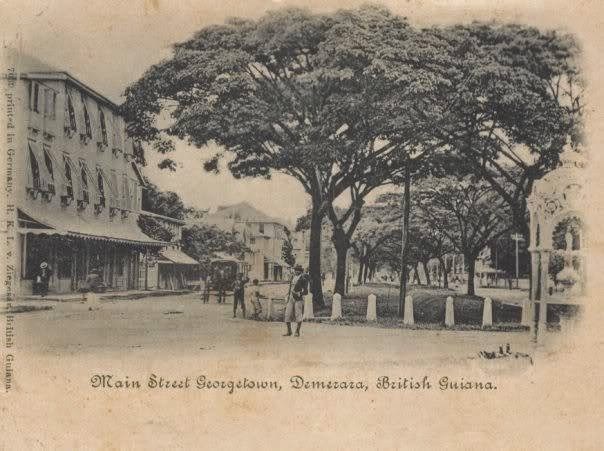
Main-Street-n.d.
Cummingsburg was originally an estate known as La Bourgade owned by Thomas Cumming, who served as a member of the Court of Policy. He sold off lots along the bank of the Demerara river to merchants who wanted to build storehouses there. The area east of what is now Main Street to Cummings Street, which was divided into residential lots, was given the name Cummingsburg. At that time, the locations where Main Street and Cummings Street currently occupy were canals connected by other canals running east to west to the Demerara River. As time went by, some of these canals were filled in to form streets.
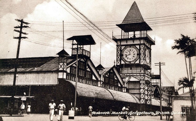
Stabroek Market n.d.
Kingston started when barracks were built there to house British troops. This ward eventually incorporated a plantation owned by Eve Leary. Soon the elite of the society set up residences in that locality.
Werk-en-Rust was originally a plantation south of Stabroek. Towards the end of the eighteenth century, the owners began selling off land near to the Demerara River to saw-millers. At first people did not want to live in Werk-en-Rust because a cemetery was located there. However, as the demand for living space arose, more and more people decided to settle there, and by 1799, it became an extension of Stabroek.
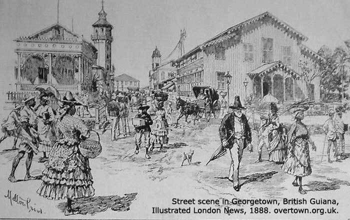
Street scene in Georgetown as illustrated in the London News, 1888
As the urban area expanded, there came a need for the establishment of various services. An attempt was made by J. C. de La Coste in 1790 to publish a newspaper. He imported a printing machine for this purpose, but the newspaper was not successful. A post office was set up by the government in 1796. In the same year, the idle newspaper printing machine was bought by Mrs. Volkerts and by employing two Barbadian printing technicians she obtained contracts to print Government notices. Not too long after, she began publishing the first known Guyanese newspaper, the Royal Essequibo and Demerara Gazette.
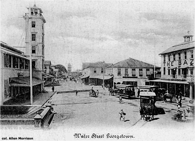
Water Street, Georgetown circa 1890s
Medical services were first organised during the French occupation (1782-83). However, the first hospital, occupying the site of the present-day Guyana Stores, was built by the British in 1796 to treat British troops afflicted by yellow fever. A few years later, a hospital for sailors was built at the site currently occupied by the National Museum.
When the British reoccupied Guyana in 1803, the entire urban area at the mouth of the Demerara River was referred to as Stabroek. In 1812 it was renamed Georgetown, and Stabroek, like other “burgs” which developed, became “wards” of the newly renamed capital of Essequibo-Demerara. (“The Guyana Story – From Earliest Times to Independence” by Dr. Odeen Ishmael)
Article Source: https://www.guyanatimesinternational.com/?p=42324
Photo Gallery
Image source: https://guyaneseonline.net/2014/04/18/guyana-old-georgetown-british-guiana-pictures/
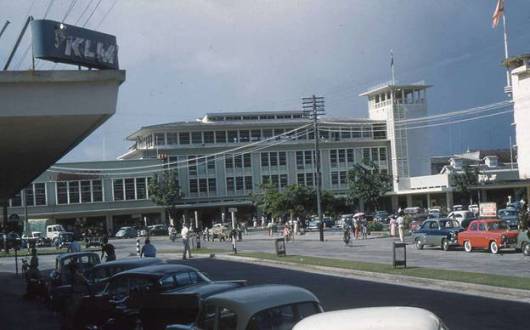
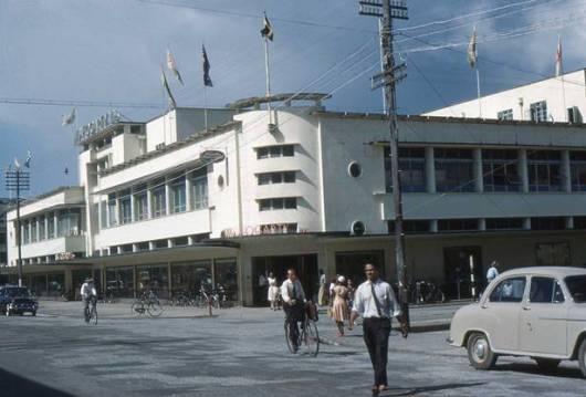
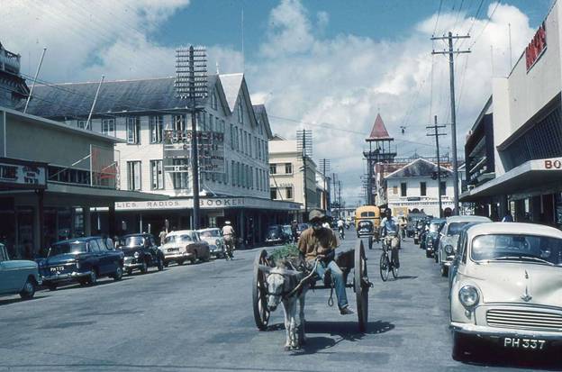
A beautiful panoramic view of Bookers Stores (now Guyana Stores) …. reportedly then the largest in the Caribbean
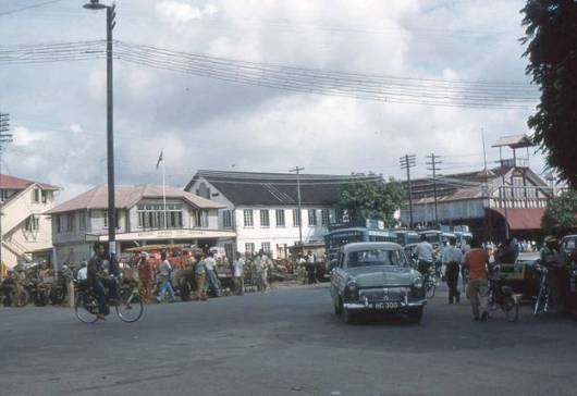
Camp and Murray Streets (now Quamina) intersection.
South along Water Street, west of the Legislative or National Assembly (now Parliament Building).
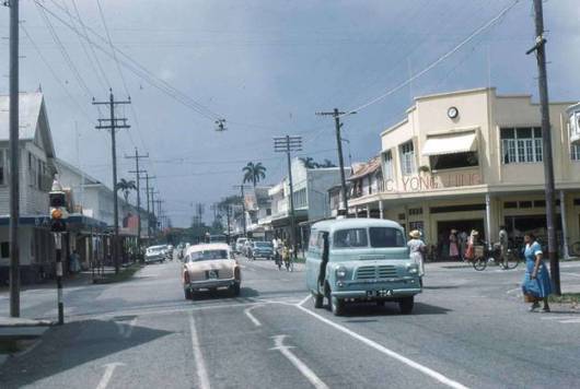
Yong Hing’s supermarket (among the first in GT of the late 1950’s) and on the opposite side(not evident in the picture.)
Fogarty’s, Robb and Water Street junction
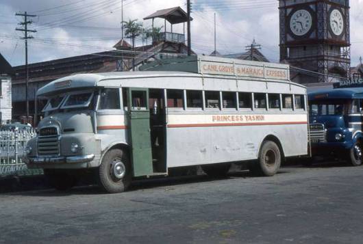
Princess Yasmin-this one plied the East Coast Demerara corridor.
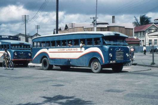
Two of the blue Bedford buses which plied the East Bank Demerara route
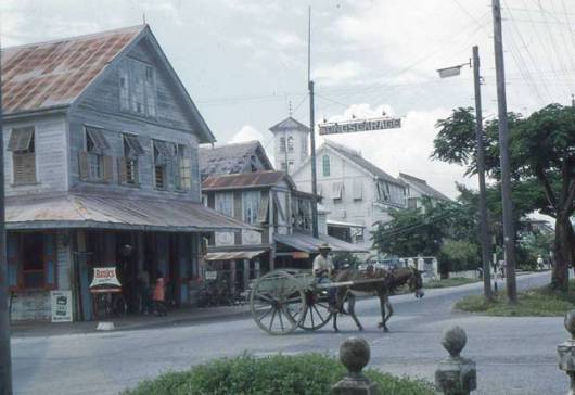
Ole Water Street